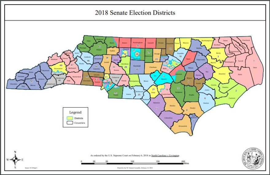
As November’s mid-term elections draw closer, many voters might wonder if recent, court-ordered changes to state legislative maps affect their districts.
The maps were first used in May's primary elections after a U.S. District Court issued an order adopting the new drawings.
Almost every state house district and half of the state senate districts in Eastern North Carolina look different from those used in the 2016 elections.
One of the most noticable changes in the newly-formed House District 79, which includes all of Beaufort County and the western part of Craven County.
Dare, Hyde, Cartertet, Jones and Pender Counties are among those not affected at all by the new maps. Voters in other Eastern North Carolina counties could possibily see changes to their legislative district on their ballot in November. To identify their district sooner, voters can visit the North Carolina State Board of Elections' interactive map or they can call their county's board of elections office.


